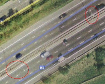
This illustrates concerns about the increasing use of Google Maps for purposes for which they may not be accurate enough, in this example, aligning a satellite dish. To be sure of picking up the right sat dishes need to be aligned initially with accuracy to a degree or better.

In this example, if you examine the two adjacent lamp stands on the motorway which lie either side of a join between two photos taken from different vantage points, perspective has them leaning in completely different directions.
What would happen if you tried to align a satellite dish using them as landmarks, especially if your line of sight crosses over the join? Hopefully, if people work to the base of such landmarks rather than the tops, error will be minimised, but would they realise they should do that, and just how accurate would be the result?

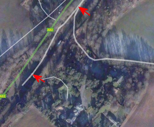
In this photo of my mother's place of birth, note the displacement between the real location of the roads as shown by the map overlay, and their position in the photograph.